We use cookies to enhance your browsing experience serve personalized ads or content, and analyze our traffic. By navigating our website, you consent to our use of all cookies. You can opt-out if you wish by clicking on “Configure Cookies”
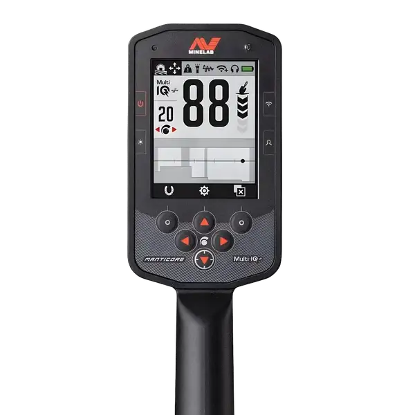
Exploring the Advanced 2D ID Map on Minelab’s MANTICORE Detector


When it comes to metal detecting, accurately identifying and classifying targets can make the difference between an exciting discovery and wasted digging. Minelab’s MANTICORE, known for its powerful and precise technology, introduces the innovative 2D Target Identification (ID) Map to make this task easier and more insightful for detectorists of all levels.
What Is the 2D ID Map?
The 2D ID Map on the MANTICORE is a feature that visualizes detected targets by plotting them based on their conductivity and ferrous properties. This advanced visual tool combines multiple layers of information into one comprehensive display, providing detectorists with a clearer understanding of what lies beneath the surface.
How Does It Work?
The ID Map displays detected targets as a trace—a dot or smudge—that indicates the target’s properties:
-
Horizontal Axis (0–99): Represents conductivity, with lower values on the left and higher values on the right. Low-conductive items could be thin or small metals, while highly conductive items might be larger, denser metals like coins or silver.
-
Vertical Axis: Indicates ferrous content. Targets with more ferrous properties appear towards the upper side of the map, while less ferrous or non-ferrous items trend toward the lower side.

When using Multi-IQ+ technology, the MANTICORE gathers enough data to plot a complete view of both conductivity and ferrous characteristics. This capability enhances accuracy and helps in distinguishing complex targets, even when multiple items are close together.
Key Features of the 2D ID Map
-
Target Trace: Each detected object generates a trace, whose position reflects the object’s properties. The opacity of this trace changes with signal strength, allowing detectorists to gauge target size and depth intuitively.
-
Ferrous Limits: Adjustable shaded areas on the map help determine whether a target is classified as ferrous or non-ferrous. This flexibility enables users to filter out unwanted targets such as nails or bottle caps while focusing on valuable finds.
-
Discrimination Pattern: This feature allows customization of which target IDs are detected or ignored. The user can fine-tune their detector settings to minimize false detections and maximize valuable discoveries.
Why It Matters
The 2D ID Map is more than a visual aid; it’s a game-changer for improving efficiency and decision-making in the field. By learning to interpret the trace shapes and positions, detectorists can identify promising targets more confidently and choose when to dig or pass. This not only saves time but also enhances the overall detecting experience, especially in cluttered or mineralized environments.
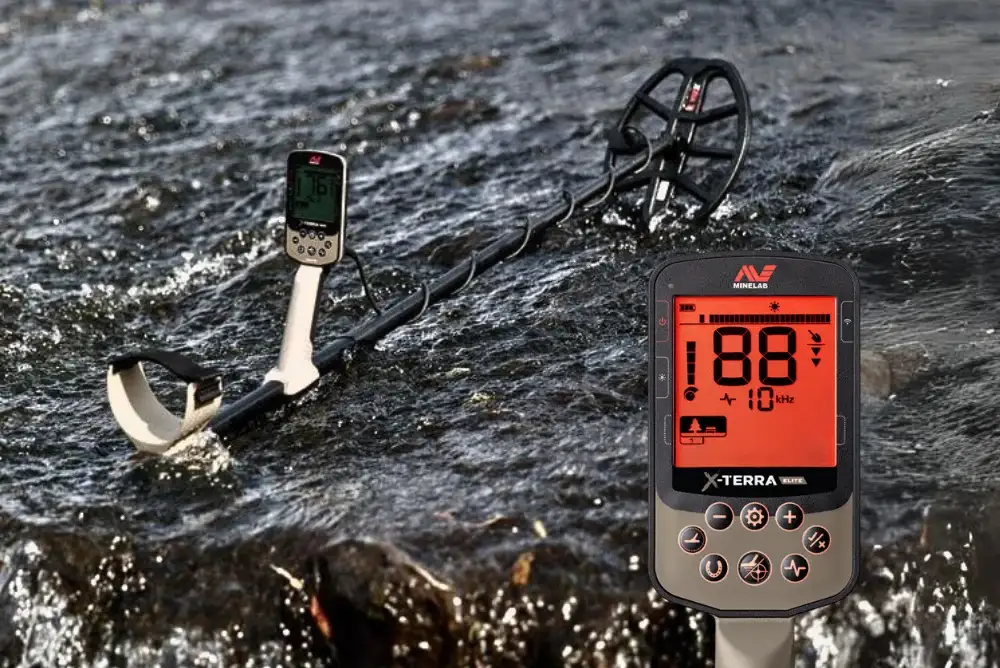
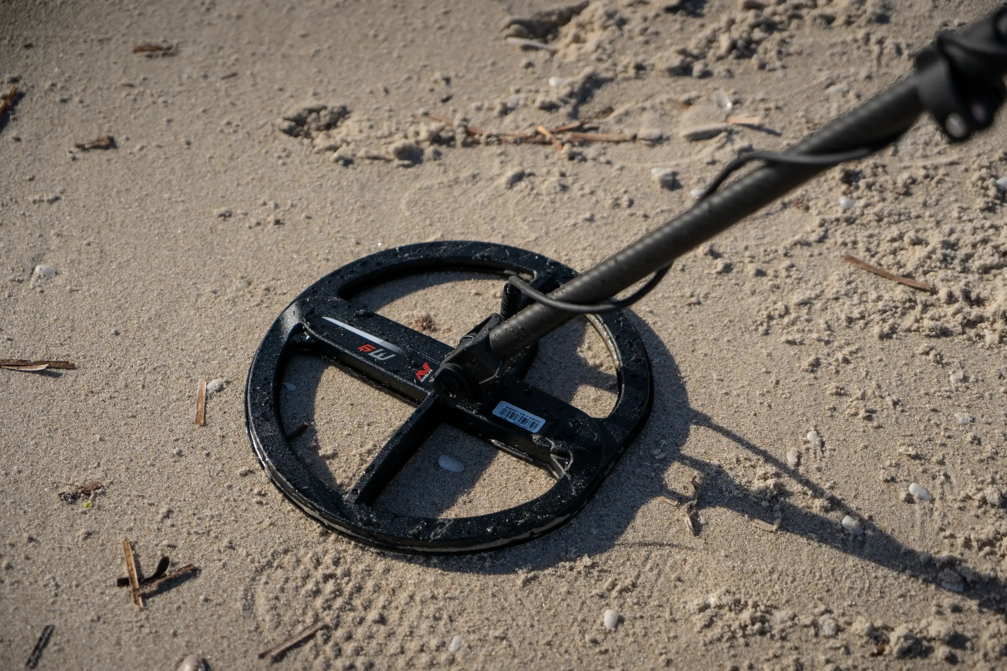
For detectorists seeking a tool that blends cutting-edge technology with ease of use, the MANTICORE’s 2D ID Map is an invaluable addition. Whether you’re on a sandy beach, a park, or a historical site, this feature provides a strategic advantage, ensuring that each detecting session is as productive as possible.
November 7, 2024
|
View: 2640
|
Categories: Metal Detector, Technology
|
By: <a class="mp-info" href="https://usa.minelab.com/blog/author/minelab-metal-detector">Minelab</a>
About the Author
Related Posts


Turning Your Metal-Detecting Passion into a Profitable Venture
July 1, 2024| Posted in Metal Detecting Tips| Minelab| 1| 2204


Pinpointing Perfection: Why Pinpointers Are a Game-Changer in Metal Detecting
January 15, 2025| Posted in Technology| Minelab| 942

5 Reasons to Start Using Minelab in 2025
January 2, 2025| Posted in Beginner detectorist| Minelab| 516

EQUINOX 700 | 900 SOFTWARE UPGRADE
June 14, 2024

X-TERRA PRO SOFTWARE UPGRADE
June 13, 2024


5 Things Not to Do with Your Metal Detector
April 12, 2024
What Do You Need to Know About the Newest X-TERRA ELITE?
July 12, 2024

8 Benefits of Introducing Metal Detecting in Childhood
April 30, 2025


Comments